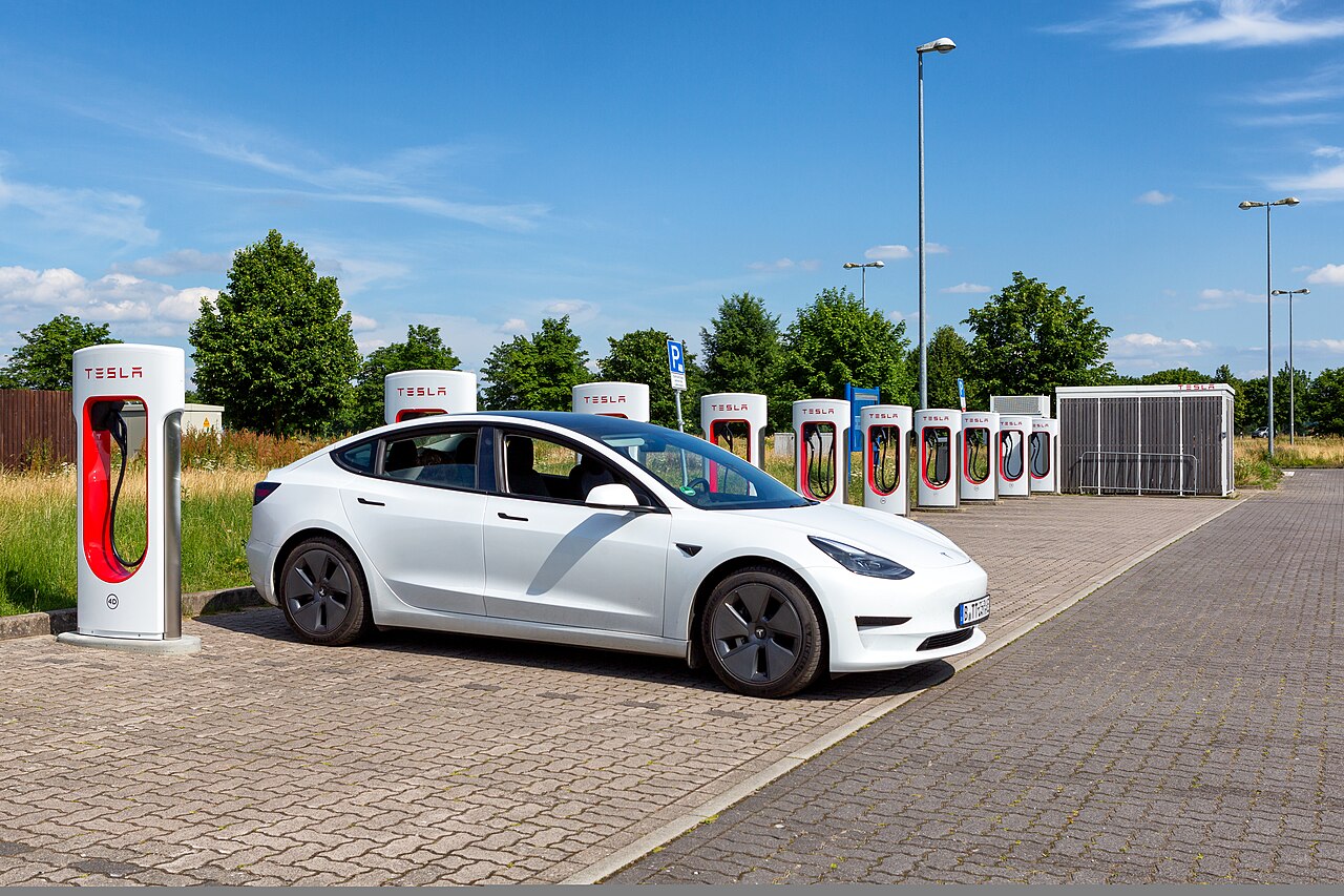
Tesla App Adds Supercharger Site Maps for Drivers
Tesla's app now displays site maps for Supercharger stations, giving drivers a clearer view of charging stall layouts before they arrive.
Tesla has rolled out a new feature in its mobile app that displays site maps for Supercharger locations, according to a report from BASENOR - Tesla Accessories. The update is designed to give drivers a clearer picture of a charging station's layout before they arrive, rather than relying solely on a pin on a general map.
What the Feature Shows
With the addition, users navigating to a Supercharger in the Tesla app can now see a visual representation of the site itself, helping drivers understand how a station is arranged. This kind of layout view can be especially useful at larger charging sites, where multiple rows of stalls, entrances, and exits can make navigation confusing for first-time visitors.
The feature fits into Tesla's broader pattern of incrementally improving the in-app charging experience as its Supercharger network continues to expand and open up to non-Tesla electric vehicles in various markets. Clearer site information can help reduce confusion at busy stations, particularly during peak travel periods when multiple vehicles may be arriving at once.
Why It Matters for Drivers
For Tesla owners and other EV drivers using the Supercharger network, having advance visibility into a site's physical layout could make it easier to plan an approach, locate available stalls, and avoid unnecessary detours within a charging location. As BASENOR - Tesla Accessories notes, the update is a small but practical change aimed at smoothing out the day-to-day experience of using Superchargers, an area Tesla has continued to refine as charging demand grows across its network.
Source: BASENOR - Tesla Accessories